
Newly-published aerial photos of North Walsham's historic core have given a fascinating glimpse of the evolution of the town.
Historic England has analysed more than 200 photographs from the 1920s to the present day as part of a 'historic area assessment' of the town.
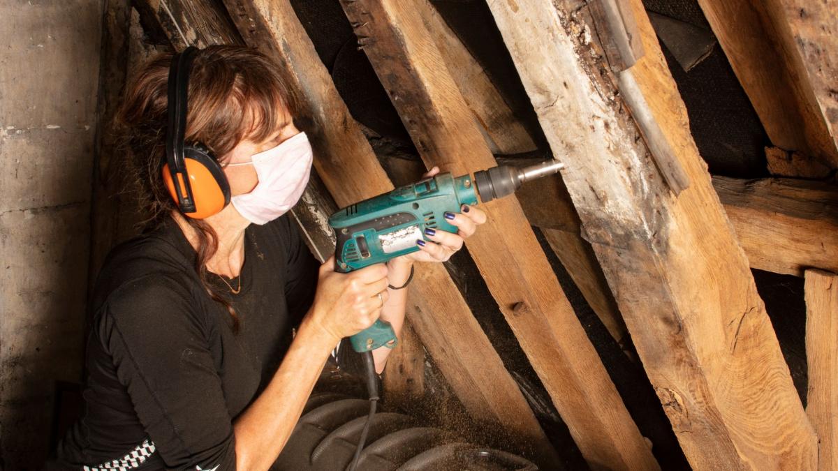
The project also involved analysing wooden timbers in key historical buildings, revealing links to North Walsham’s Great Fire of 1600.
Emily Cole, the project's senior architectural investigator, said: "We are really pleased and excited by the findings.
"In particular, it’s fascinating to have confirmation that buildings at North Walsham’s core were indeed entirely rebuilt following the Great Fire of 1600."
The research was carried out to better understand the historical significance of the area within the North Walsham High Street Heritage Action Zone (HAZ).

The high street scheme, run in partnership by North Norfolk District Council and Historic England, aims to renew and revitalise the historic town centre.
North Walsham boasts more than 100 listed buildings, the highest number of any town in north Norfolk, mostly dating from the 18th and 19th centuries.
The images analysed for the aerial photographic research were taken between 1928 and 2020, and show how the town has changed over time. They include images of long-lost buildings that were demolished in the town's redevelopment of the late 1960s to 1970s.
Many of the buildings seen in the 1928 and 1932 aerial photographs appear to match those represented on a map drawn in 1843.
These photographs concentrate on the central and northern parts of the town centre and show some of the densely packed groups of buildings that once existed around the Market Place and the churchyard.
Patterns of lanes and yards can be seen alongside glimpses of some of the people who lived and worked in the town.
Highlights include:
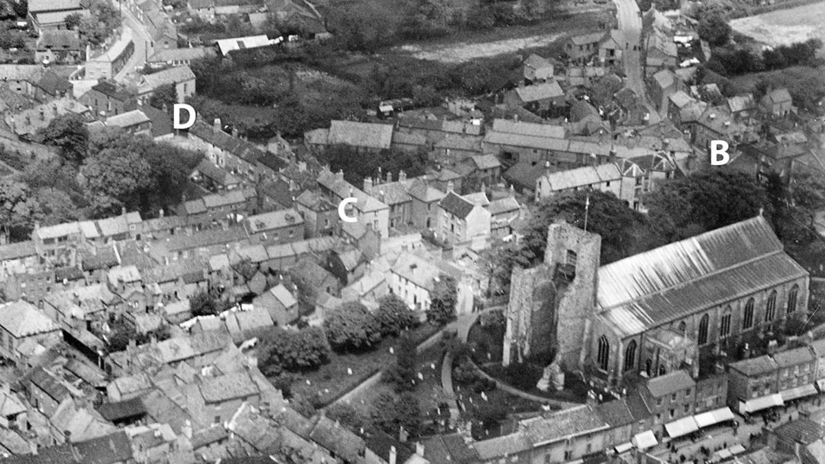
The Butchery
. B marks the entrance to a narrow blind alley. C (top right) marks the entrance to the Butchery.")
The Butchery was a short lane running north from the Market Place, seen on historic aerial photographs, but has since been demolished.
Its entrance was located between 31 and 32A Market Place, which now leads to the churchyard and the St Nicholas Court precinct, built in the 1970s.
The 1928 aerial photos show buildings along both sides of the lane for about 30 metres.
At its northern end were two buildings numbered 597 and 710 on the 1910-15 Valuation Office Survey.

In front of this was an open area which to the west led to Market Street and to the east provided access to the churchyard.
A covered alleyway led through buildings 597 and 710 and this appears to have linked The Butchery to the diagonal road that ran through the Ship Yard area.
The Cedars

The 1928 and 1932 aerial photographs of The Cedars, situated on New Road at the eastern end of the Market Place, show the house, its outbuildings and grounds during the years when it was still in use as a private residence.
Early photographs show a ground-floor extension that has since been demolished.

The comparison between the photographs taken in 1932 and 2020 shows where the garden has been cleared to form a car park serving the building.
The Cedars is undergoing repair and restoration as part of the High Street Heritage Action Zone. When completed, it will provide a space for businesses and community organisations.
The Oaks

The Oaks was a large house in extensive grounds on the south side of New Road diagonally opposite The Cedars. The Oaks was demolished in the 1930s and only appears in one grainy photograph taken in 1928.
Paston Grammar School
.")
The Paston Grammar School site now forms the eastern campus of Paston College, called The Griffons.
The site extends from the Market Place to the Grammar School.

The 1928 aerial photographs show at least three areas of building work underway at the school.
What appears to be the main construction work was the extension of an existing two storey building to the east of Nelson Building.
The Market Place
 side of the marketplace.")
A photograph shows the Market Place from the west in 1928. It is market day and stalls can be seen extending along the southern side of the Market Place.


Comments: Our rules
We want our comments to be a lively and valuable part of our community - a place where readers can debate and engage with the most important local issues. The ability to comment on our stories is a privilege, not a right, however, and that privilege may be withdrawn if it is abused or misused.
Please report any comments that break our rules.
Read the rules here